
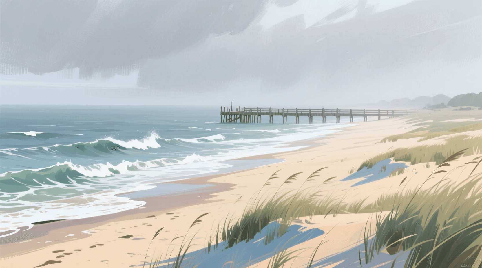
Mid-Atlantic Summer Surf: How to Read South Wind Swell from New Jersey to Long Island
If you surf the Mid-Atlantic in July and August, you already know the pattern: the forecast says three feet, you drive to the beach, and you find something between a rideable bump and a washing machine. The height was right. The problem is that height was never the number that mattered.
Most Mid-Atlantic summer surf is wind swell — waves still being generated by the wind you are standing in, rather than swell that has travelled to you from a distant storm. Learning to spot the difference on a forecast is the single biggest upgrade you can make to your summer surf checks, and it costs nothing but a little attention to one column.
The Bermuda High is running your summer
Through the warm months, a large area of high pressure typically parks itself over the western Atlantic. Air circulates clockwise around it, which for the US East Coast means a persistent flow out of the south and southwest — day after day, sometimes for weeks.
That wind blows across a relatively short stretch of ocean before it reaches the beach. Short fetch and moderate wind speeds make small, steep, closely spaced waves. They arrive with short periods, they are usually textured rather than clean, and because nothing is sustaining them once the wind eases, they fade quickly.
This is not a bad thing. Wind swell is the reason there is anything to ride at all on a flat August week, and a well-timed wind-swell morning at a good sandbar can be genuinely fun. It just has to be read on its own terms.
Period is the tell
On any forecast, the number to look at first is not height — it is period, the time in seconds between passing wave crests. Period is the closest thing a forecast gives you to a measure of how much energy is actually in the water.
- Short period (roughly 4–7 seconds) — locally generated wind swell. Waves are close together and steep, arriving as shifting peaks rather than long walls. Three feet at five seconds is a very different session from three feet at eleven. Expect it to be textured while the wind is on it — but on a decent sandbar the upper end of this range still breaks up into makeable corners.
- Mid period (roughly 8–11 seconds) — swell that has travelled some distance. More organised, better-defined sets — and on the Mid-Atlantic's long, relatively flat sandbars this is usually the sweet spot: enough energy to line up, still enough peakiness that the wave breaks unevenly along the bar and leaves a shoulder to ride down the line.
- Long period (12 seconds and up) — genuine groundswell. In a Mid-Atlantic summer this almost always means a tropical system well offshore, and it carries far more power than its listed height suggests. The honest catch: that power comes with refraction strong enough to swing the lines parallel to a straight beach, so over a flat open bar 12-plus seconds often means walls that shut down all at once. These are the days that reward structure — jetties, piers and inlet bars that break the line into corners.
A useful habit: read height and period together as a pair, never height alone. If you want the longer version of this, we wrote a full walkthrough in How to Read a Surf Forecast: Height, Period, and Direction.
Why the same forecast is not the same wave from NY to DE
The Mid-Atlantic coastline changes orientation considerably over a few hundred miles, and that orientation decides how much of a given swell actually reaches the sand.
The south shore of Long Island faces broadly south. A south or south-southwest wind swell runs almost straight at it, so spots like Robert Moses State Park, Long Beach West End and Rockaway tend to pick up summer wind swell readily. The trade-off is that the wind creating the swell is also blowing onshore, so the same system that makes the waves is the thing adding the texture.
The New Jersey shoreline faces closer to east-southeast. A due-south wind swell arrives there at a sharper angle and loses some of its punch, while a swell with more southeast in it lines up much better. This is why Manasquan, Asbury Park, Brigantine and Mantoloking can trail Long Island on a due-south day, then be noticeably better a day later when the direction backs around. Further south, Bethany Beach and the Delaware beaches follow much the same logic.
Practical version: check swell direction against how your beach faces before you judge the height. A twenty-degree shift in direction routinely matters more than a foot of height.
Timing the wind, not just the swell
Because summer surf and summer wind are usually the same weather system, timing is most of the game.
Two windows are worth knowing. The first is early morning, before the daytime sea breeze strengthens — often the cleanest water you will see, especially when the overnight flow has had a light offshore component. The second is the tail of a wind event: once the wind eases or swings offshore behind a front, the swell it built is still in the water for a few hours while the surface tidies up. That short overlap between leftover swell and improving wind is where most of the genuinely good Mid-Atlantic summer sessions happen.
Tide is the third variable and it is entirely local. Mid-Atlantic beach breaks sit on sandbars that move through the season, so the tide that worked in June may not be the tide that works in September. There is no substitute for knowing your own bar.
When the tropics get involved
Late summer is also when the Atlantic tropics wake up. A hurricane or tropical storm tracking well offshore can send long-period groundswell to the entire Eastern Seaboard — a completely different animal from the daily wind swell, with more organised sets and considerably more power for the same listed height.
Two honest cautions. Tropical swell forecasts carry real uncertainty at long lead times, because small changes in a storm's track change both the size and the arrival timing at your beach; treat a five-day-out tropical call as a heads-up, not a plan. And these swells often arrive with strong currents and rapidly changing conditions, so they deserve more caution than their height suggests — and on open sand they close out more than people expect, so the ridable corners are usually wherever a jetty, pier or inlet bar breaks up the line. If you want to see how dramatically coastline shape can bend this kind of energy, our piece on Cape Point and the Outer Banks is a good illustration.
A simple summer checklist
Our standing rule for reading any forecast is direction, then period, then height. A Mid-Atlantic summer earns one amendment: start with period, because the first question is which kind of swell you are looking at.
- Period first. Under about seven seconds, expect local wind swell and plan around the wind. Over about eleven, pay closer attention — there is real energy behind it, and on an open beach it will surf best around structure.
- Direction second. Compare the swell direction to the way your beach faces before you trust the height.
- Wind third. Find the window where the wind is lightest or has just switched, rather than the window where the swell peaks.
- Height last. It is the number everyone quotes and the least informative on its own.
None of this makes a flat week less flat. What it does is stop you driving an hour for a forecast that was never going to deliver, and get you to the beach on the mornings that were.
We check every offshore swell height forecast against buoy observations, continuously and including the ones that miss. That verification record is being recorded in the open now and will be published in full once a full month of forward-recorded forecasts has accrued — we would rather show a real month than a curated week. In the meantime you can pull the current forecast for any break from our homepage.
Set a free alert for your home break and we will tell you when the period and direction actually line up, instead of leaving you to check every morning. Start with Robert Moses State Park, Manasquan or Bethany Beach.
📱 Get spot-by-spot forecasts, dawn patrol alerts, and buoy-trained ratings in the SwellIntel app.