
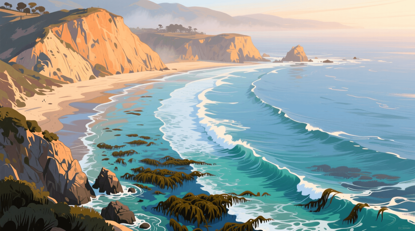
Orange County Surf: How a South Swell Wraps into Newport and Laguna
Two spots twelve miles apart, same swell, same hour: one is waist-high and gutless, the other is head-high with a rideable corner. In Orange County that happens constantly, and it is almost never luck. It is geometry — which direction your beach actually looks out to sea, whether an island is parked on the bearing the swell is arriving from, and how much bottom the swell has had a chance to feel on the way in.
All three of those are things you can work out ahead of time. This is how a south swell finds its way into Newport, Laguna and the south-county points, and why the same forecast means very different things at Seal Beach and at Trestles.
- Orange County doesn't face south
- Why long-period swell bends and short-period swell doesn't
- The island shadows move as you drive down the coast
- Newport: the canyon does the amplifying
- Laguna: a chain of pockets, not a beach
- South county: the open-window end
- The daily clock
- What our model sees that a buoy can't
- Reading it yourself, in three steps
Orange County doesn't face south
The county's shoreline runs northwest to southeast, which means it mostly looks out to sea toward the southwest, not the south. Our model builds a shore-normal transect for every spot — the bearing the beach genuinely faces — and once you line those up, the whole county sorts itself out:
- Seal Beach and Surfside — about 195–205°, nearly straight south
- Bolsa Chica through Huntington — about 210–225°
- Newport's beaches, 36th to 54th — about 225–230°
- The tip of Balboa — Newport Point, Corona del Mar — about 198°, the coast swings hard
- North Laguna, Crescent Bay and Shaw's Cove — about 200–207°
- Thalia, Brooks and Agate — about 225–230°
- Salt Creek and Strands — about 236–245°, the most west-leaning aspect in the county
- Doheny — about 201–209°, tucked behind the Dana Point headland
- San Clemente Pier and T Street — about 224–235°
- The cobble points at Trestles — about 215–226°
A garden-variety Southern Hemisphere swell reaches us from somewhere between 180° and 200°. Set that against the list and the problem is obvious: most of Orange County is looking 20 to 45 degrees off the direction the energy is actually travelling. The wave has to bend to get in. Whether it manages that is mostly a question of period.
Why long-period swell bends and short-period swell doesn't
A wave only turns once it feels the bottom, and how deep it starts feeling the bottom depends entirely on its wavelength. In deep water, wavelength is about 1.56 times the period squared, in metres:
- 20 seconds — roughly a 620 m wavelength; it starts refracting in about 310 m of water
- 16 seconds — roughly 400 m; starts turning in about 200 m
- 12 seconds — roughly 225 m; starts turning in about 110 m
- 8 seconds — roughly 100 m; nothing happens until it is in 50 m of water
That difference is the entire article in one line. A 17–20 second south begins turning kilometres offshore, out over the deep borderland, and arrives at the sand having already swung most of the way around toward shore-normal. It gets into coves that face the wrong way. An 8-second wind swell does not start turning until it is a few hundred metres off the beach, by which point there is no room left to bend — it only lights up the stretches already aimed at it.
So a long-period south is a county-wide event and a short-period south is a local one. Real swell also spreads: the peak direction on a forecast is the middle of a band roughly 20 to 30 degrees wide, which is why a spot can pick up energy from a direction the chart says is blocked. More on that in why 16 seconds beats 6.
The island shadows move as you drive down the coast
Catalina and San Clemente Island sit between the open Pacific and this stretch of coast, and they eat swell out of specific bearing bands. The part almost everyone gets wrong is that those bands are not fixed — they swing as you move along the shore, because the islands sit only about 30 to 65 miles out. Measuring from each spot to the ends of each island:
- From Seal Beach — Catalina covers roughly 200° to 240°; San Clemente Island covers roughly 190° to 210°. Between the two, most of the south-southwest through west-southwest band is filtered. What gets a genuinely clean run at north Orange County is a steep south, near 175–190° — the angle a tropical system off Baja tends to throw in late summer.
- From Newport Pier — Catalina has slid west to roughly 225°–255°, San Clemente Island to roughly 205°–225°. The 180–200° band is wide open.
- From north Laguna — Catalina is off at 240°–265°, well out of the south window entirely; San Clemente Island covers about 210°–235°.
- From Trestles — Catalina is at 265°–275°, which is due west and irrelevant to a south swell; San Clemente Island sits at 230°–250°. Everything from due south to about 225° arrives with nothing in the way.
The one I'd push back on hardest is the habit of blaming Catalina for a small south. From Newport southward it simply isn't in the way — by Laguna it has swung 40 degrees clear of the south window. If a long-period south underdelivers in south county, the answer is usually direction and shore-normal, not the island.
Worth being straight about the limits, though: a shadow is a filter, not a wall. Long-period energy diffracts around an island's ends and refracts over the offshore banks, so a partly shadowed spot loses size — it does not go flat. Drawing straight lines on a chart will overstate the effect every time, which is exactly why this gets modelled rather than eyeballed.
Newport: the canyon does the amplifying
Newport has something no other stretch of this coast has: the head of a submarine canyon that comes within a few hundred metres of the beach, near the pier. Most of Southern California gives a swell a long, gradual shoaling ramp that bleeds energy off gently. Newport gives it a steep-sided trench instead.
Waves refract around that trench rather than over it, and the rays bending off the canyon's western flank converge down the Balboa Peninsula. That convergence is why the outer end of the peninsula can run close to twice the size of 54th Street on the same swell, on the same morning. It also means Newport is unusually sensitive to swell direction: shift the source ten degrees and you shift where the focused energy lands.
The far end of the peninsula — the Wedge — is the extreme version of this: canyon-focused energy stacked on top of jetty reflection, which is a genuinely hazardous combination. It breaks in inches of water on dry sand and it hurts people every summer. Treat it as a spectator break unless you actually know it.
Up the peninsula, Blackies and Newport Point get a more organised, less amplified version of the same energy, and the beach breaks north toward the river jetties want the swell more southwest to line up with their aspect.
Laguna: a chain of pockets, not a beach
Laguna is not one coastline, it is a run of small rocky coves separated by points, and each cove has its own aspect. That is why it rewards paying attention to direction more than almost anywhere else in the county.
Crescent Bay and Shaw's Cove look out at roughly 200°, which is about as close to the middle of the south window as this coast gets — and, as above, with Catalina swung clear and only a corner of the San Clemente Island shadow in play. On a straight 190–200° swell the north coves are the pick. Shaw's is reef and rock underneath, so it holds shape when the sand-bottomed beaches go soft, but it also concentrates energy the way reef always does: our spot guide flags rocks, shallow reef and urchins, and all three are real at low water.
A mile and a half south, Brooks Street and the Thalia and Agate stretch face closer to 225–230°. Same town, thirty degrees of difference. When the swell backs southwest, that end of Laguna comes into its own and the north coves soften. Rockpile sits between the two at about 220° over rock bottom, which is why it can be the odd one out on either kind of day.
One more thing that is specific to a cove coastline: every point diffracts energy into its own lee, so the up-coast corner of most Laguna coves runs a size smaller and a good deal cleaner than the middle. On a swell that is too big for the reef, that corner is usually the answer.
South county: the open-window end
Doheny is the clearest example of a headland doing useful work. The Dana Point headland strips out west energy almost completely, but at about 205° the beach is left looking straight down the south window. That is why Doheny is a pure south-swell spot — gentle, long, forgiving, and quiet when the swell has much west in it.
Immediately north, Salt Creek and Strands sit on the other side of that same headland at roughly 240°. They lean west, so they want either a west component or a big, long-period south with enough wavelength to bend the full 40 degrees. When a 17-second south is running, Salt Creek's point will hold a wall that Doheny cannot.
Then the south end: San Clemente Pier, T Street and the cobble points at Trestles have the widest unobstructed swell window in the region — anything from due south to about 225° arrives with no island in the path. The cobble does a lot for the shape, but the reason the south end is the county's south-swell benchmark is the window, not the stones.
The daily clock
None of the above survives contact with a bad wind. Our spot guides put optimum wind at northeast or east for essentially every break in the county — that is the overnight land breeze, and in summer it typically holds until mid-morning before the westerly seabreeze takes over and texture builds through the afternoon.
So on a normal summer south-swell day, the usable window in Orange County runs from first light to somewhere around 10 or 11 am. The exception is an offshore Santa Ana pattern, which can hold conditions clean all day — but that is a fall and winter setup, not a summer one. If you only get one check, make it the early one.
What our model sees that a buoy can't
A buoy sits in deep water well offshore and reports one number for a large piece of ocean. Everything described above — shore-normal, island sheltering, canyon focusing, cove aspect, the way a 19-second swell bends and a 9-second one doesn't — happens between that buoy and the sand. Reading a buoy and assuming it describes your beach skips the part that decides your session.
That is the gap our forecasts are built to close. We run a nested SWAN wave model — coarse ocean grid down through intermediate to a fine nearshore grid at roughly 50 m resolution — and solve refraction, shoaling and sheltering on that grid at each spot. It is the reason Shaw's Cove and Brooks Street come out of the same offshore swell with different answers, which is the only question that actually matters when you are deciding where to park. We forward-verify our offshore swell forecasts against buoy observations, and that is the accuracy claim we stand behind.
Reading it yourself, in three steps
1. Direction first. 175–195° favours north Orange County and the south-facing pockets — the Balboa tip, north Laguna, Doheny. 195–215° is the county's broad sweet spot and lights up nearly everything. 215–230° shifts the advantage to Huntington, the Newport beaches, south Laguna, Salt Creek and the San Clemente stretch.
2. Period second. At 16 seconds and up, expect the wrap and check the spots that face off-angle — they will be in play. At 13 seconds and under, don't count on the bend; go to whatever is already pointed at the swell.
3. Wind third. Everything above is theoretical once the seabreeze fills in.
For the seasonal side of this — when the Southern Hemisphere actually delivers, month by month — see SoCal south swell season. For the forecast fundamentals underneath it all, start with height, period and direction.
Set a free alert for your spot and we'll tell you when the direction and period actually line up with the way your beach faces — start with Shaw's Cove, Crescent Bay, or Doheny, or find your own break at Swell Intel.
📱 Get spot-by-spot forecasts, dawn patrol alerts, and buoy-trained ratings in the SwellIntel app.