
Cape Point, Hatteras: How the Outer Banks Bends Hurricane Swell Into Barrels
The Outer Banks reach some 30 miles out into the open Atlantic before the coast loses its nerve and bends back toward the mainland. That bend has a name — Cape Point, the sandy elbow at Buxton where the Cape Hatteras Lighthouse stands watch over Diamond Shoals. It is the single most reliable swell magnet on the Eastern Seaboard, and it is a beach break, which shouldn't add up until you understand what the sand out there is actually doing.
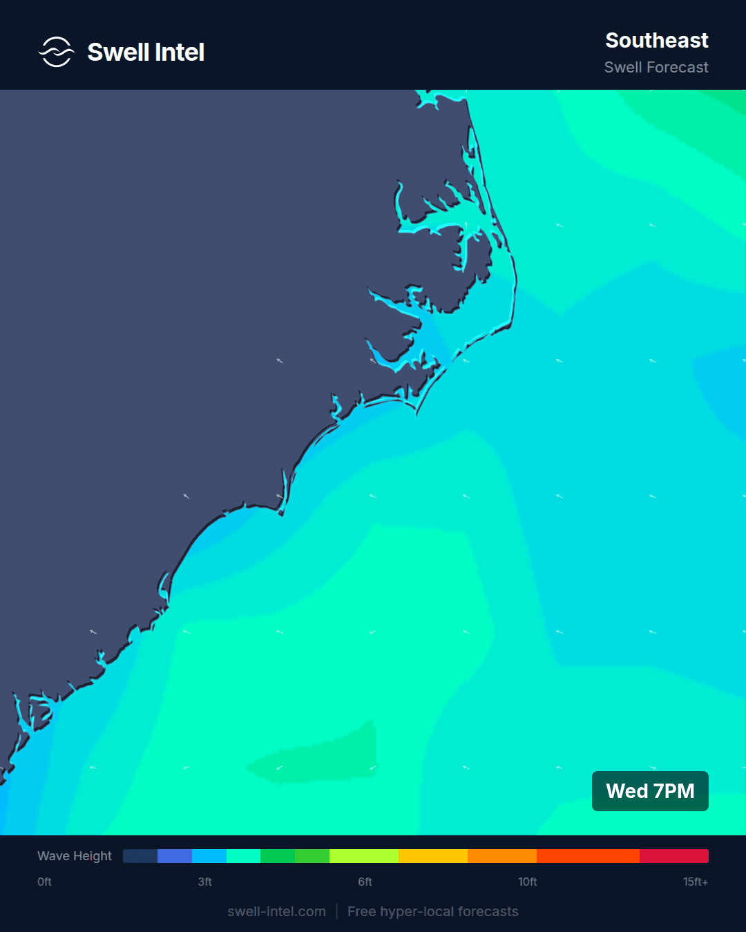
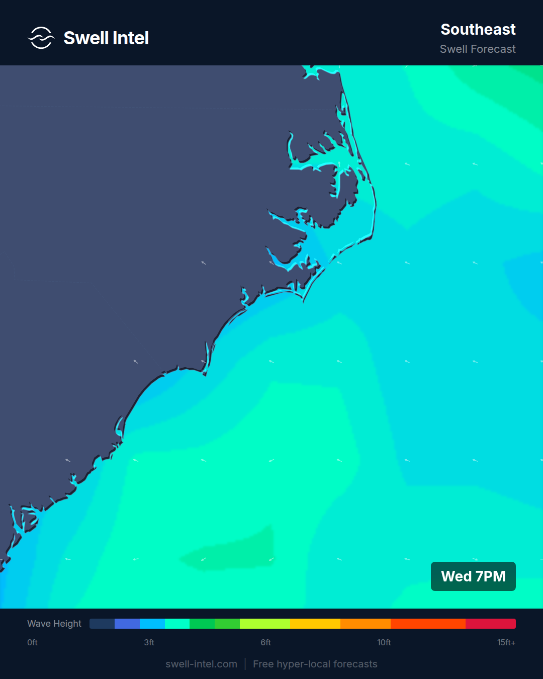
This one is a spot-mechanics breakdown rather than a forecast: how Cape Point works, when it turns on, and what our 50 m nearshore SWAN model sees on that shifting bathymetry that a buoy parked 20 miles offshore never can.
Cape Point at a glance
- Swell window: Enormous — roughly NE (45°) clockwise through E all the way to S/SSW (200°). Almost nothing on the Atlantic side gets shadowed out.
- Size range: Ankle-high on a flat summer high tide to double-overhead-plus on a direct hurricane hit; chest- to head-high is what most organized fall groundswells deliver.
- Seabed: Shifting sand over the Diamond Shoals system — dynamic, sandbar-dependent, and never quite the same map twice.
- Optimum wind: Light W to NW. NW blows offshore at the Lighthouse banks even when it's sideshore junk up the northern beaches.
- Best tide: Low to mid on average, but genuinely bar-dependent — the good bank moves.
- Best season: Late August through November — Atlantic hurricane groundswell and the first nor'easters. Summer is the quiet shoulder.
- Hazards: Powerful rip and longshore currents at the convergence, Diamond Shoals (the "Graveyard of the Atlantic" earned its name), remote 4WD beach access, crowds on the best days.
The elbow that catches everything
Most East Coast breaks face one way and take swell from a narrow slice of the compass. Cape Point faces two ways at once. Because Hatteras Island pivots hard to the west right here, the beach on the north side of the point looks out to the east and northeast, while the beach on the south side — the Diamond Shoals side — looks toward the south and southeast. That geometry is the whole trick: a north or northeast pulse from an autumn nor'easter wraps onto one bank, and a south or southeast pulse from a hurricane spinning up off Florida or out over the Gulf Stream lights up the other. Very little of the swell window is wasted.
It's why Buxton "picks up swell like a magnet" is less local legend than a statement of fact about angles. When two neighboring stretches of coast — say, the beaches up around Nags Head, or the breaks down in the Carolinas — are dead flat because the swell is coming from the wrong direction for them, Cape Point is very often still catching something on one of its two faces. The cape doesn't create energy. It just refuses to miss any of it.
The sandbars do the shaping
Wave-catching gets you a lump of energy. Turning that into a wave worth paddling for is the job of the sand, and the sand off Cape Point is some of the most active on the continent. Diamond Shoals is a live, migrating system — bars build, break apart, and rebuild with every big swell and every wind event. Shelly Island, the sandbar that periodically surfaces off the tip, sometimes stands as its own island and sometimes welds back onto the point. The configuration on any given week is what decides whether the Point is a wedging A-frame or a mushy closeout.
This is exactly where a global forecast model runs out of resolution. A buoy tells you the deep-water swell height and period; a coarse model gives you a smeared average across the whole cape. Neither one knows that the outer bar shifted 40 meters south after the last blow. When we run a swell through the 50 m grid, the model resolves how Diamond Shoals refracts and focuses that energy onto the individual banks — where it bends, where it stacks up, where it drains. I weight the shoals refraction heavily in the Hatteras solution precisely because the near-shore bathymetry, not the offshore height, is what separates a session from a skunk here. It's the clearest case on the whole coast for why nearshore modeling matters. Tide rides along with all of it: low to mid usually stands the banks up, but on a spot this bar-driven, the honest answer is that the best tide is whatever the current sandbar wants.
A split personality that saves your session
The two-faced geometry pays off a second time when the wind is up. West to northwest is the money wind — it blows straight offshore into the Lighthouse banks and grooms them clean, and because of the cape's orientation, a NW that has the northern Outer Banks blown out sideshore is often perfectly offshore right here. Better still, when the wind is honking from one quarter, you can frequently duck around to the point's other face and find a bank that's sheltered or offshore instead of getting sandblasted. On a coast where wind ruins more swells than it helps, that optionality is rare, and it's a big part of why the fall lineup fills up when the forecast says everywhere else is a washout.
When it actually turns on
Here's the honest part, because Cape Point deserves a straight forecast and not a sales pitch. In the depths of summer, the Atlantic sits under high pressure, the swell window goes quiet, and the Point is often small and soft — a longboard tide, or a skip. Mid-July, when this is publishing, is the ramp: Atlantic hurricane season is technically open but the powerful, well-organized groundswells are still mostly ahead. The payoff window is late August through November. That's when tropical systems track up the seaboard and out over the Gulf Stream throwing long-period south and southeast swell, the early nor'easters start firing northeast energy down the coast, the summer high finally lifts, the wind clocks offshore, and the water stays warm into October. When the calendar and a storm line up, Cape Point produces the most complete beach-break barrels on the East Coast. The trick is being ready for the swell that's coming, not the flat spell you're standing in.
Respect the Point
The same convergence that makes the wave makes the water dangerous. Where the north and south banks meet, currents rip hard — a longshore pull can move you down the beach faster than you'd believe, and the channels that drain the sandbars turn into express lanes offshore on a bigger swell. Diamond Shoals didn't get the name "Graveyard of the Atlantic" for nothing. Access is remote, most of it 4WD-only down the beach, so a bad situation is a long way from help. Know the bank you're surfing, watch the current before you paddle out, and give the biggest days the respect they're asking for.
Track it live
Cape Point rewards timing more than almost any break on the coast — the swell has to arrive, the bar has to be right, and the wind has to cooperate, often in a window measured in hours. That's the whole reason we built a nearshore model instead of trusting the buoy. Watch the Outer Banks fill in on our 50 m SWAN grid and set an alert for your bank at swell-intel.com so you're in the water when the elbow does its thing — and not driving out to Buxton the day after.